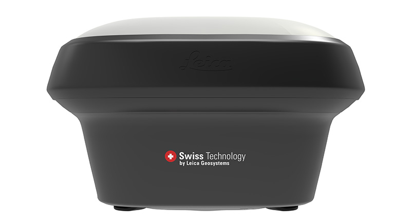
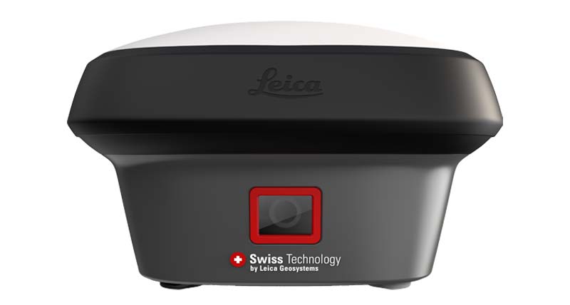
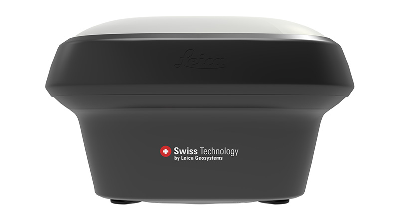
GNSS . . . today
GPS was conceptualised by the US as a Positional Aid for its Defence Systems. However, since those early times GPS, known as GNSS now, has spread its usage and also the Technological Developments, not only in its usage but huge upgrade in its Technical Capabilities as well.
Today the role of GNSS as a Défense Tool has completely been overshadowed by the sheer magnitude on which it is being used for Civil Positioning and Mapping - There is hardly any Surveyor or a Developmental Department or an Organisation involved in Civil Work that does not use and work with GNSS.
Since the earlier days so many additional Satellite Constellations like Glonass / Bedeau / Compass / Galileo are supplementing the earlier GPS Satellite Constellation. This allows for abundant data, which put together with the Strides made in Receiver Technology are allowing a Static Accuracy of 3 mm and an RTK Accuracy of 8 mm.
If the above was not enough, most of the Developed as also Developing Countries like India already have or are Setting up CORS Networks where a Surveyor can move around with a Single Rover and get Corrections from already established CORS Networks.


